
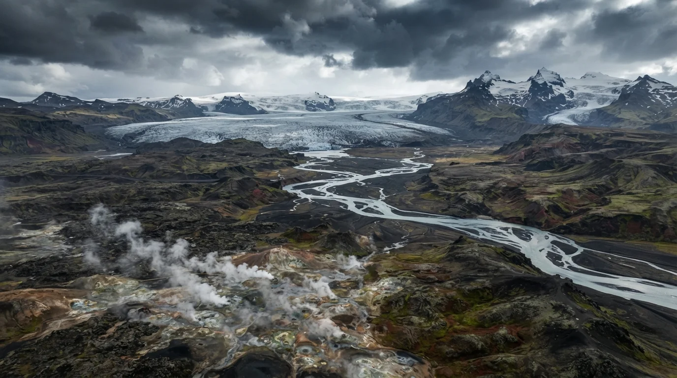
The Southwest: Iceland's Geothermal Core
The Southwest region is Iceland's most geologically dynamic and most visited area. Reykjavik, the capital, anchors the region on the Reykjanes Peninsula, a spit of lava fields and geothermal vents where the Mid-Atlantic Ridge visibly breaks the surface. Inland, the Golden Circle - a roughly 190-mile tourist loop - links three of Iceland's defining landmarks: Þingvellir National Park (where the tectonic plates physically separate and Iceland's parliament was founded in 930 AD), the Haukadalur geyser field home to the reliably erupting Strokkur, and the powerful Gullfoss waterfall.
The Hekla and Eyjafjallajökull volcanoes dominate the eastern edge of the region. Eyjafjallajökull's 2010 eruption disrupted European air travel and made the region internationally recognizable. The South Coast, technically an extension of this zone, runs east toward glacier lagoons and black-sand beaches formed from ancient lava flows reaching the sea.
11%
Iceland's land area covered by glaciers
According to the Icelandic Meteorological Office, glaciers currently cover approximately 11% of Iceland's total land surface, with Vatnajökull alone accounting for roughly 8%.
~190 miles
Length of the Golden Circle tourist loop
The Golden Circle route in Southwest Iceland spans roughly 190 miles and connects Þingvellir, the Geysir geothermal area, and Gullfoss waterfall.
828 miles
Total length of Iceland's Ring Road
Iceland's Route 1, known as the Ring Road, runs 828 miles around the island's perimeter, linking the country's main coastal regions.
The North: Waterfalls, Whales, and a Different Climate
Northern Iceland centers on Akureyri, the country's second-largest urban area, situated at the head of Eyjafjörður - Iceland's longest fjord. The North is noticeably drier and sunnier than the South in summer, protected from Atlantic weather by the island's central highlands. This region contains Goðafoss (the Waterfall of the Gods), Lake Mývatn's surreal pseudo-crater landscape, and the Dettifoss waterfall - considered Europe's most powerful by volume.
Húsavík, a small fishing town on the north coast, has become a hub for whale-watching excursions into Skjálfandi Bay, where humpback and minke whales are frequently observed during summer months. Travelers willing to leave the Ring Road find quieter fjords and coastal villages with far fewer crowds than the southwest corridor.
“Iceland is not a country you can summarize from one vantage point. Each region has a distinct geological identity - the north and south might as well be different worlds formed by the same forces.”
— Árni Björnsson, Icelandic folklorist and author on Icelandic culture and geography
The East and West: Fjords, Cliffs, and Isolation
The Eastfjords offer a quieter, more intimate version of Iceland - steep fjords cut by glacial erosion, small fishing communities, and wildlife including reindeer herds descended from animals introduced from Norway in the 18th century. The town of Seyðisfjörður, reachable by a winding mountain road, is known for its colorful wooden architecture and arts community. Accessibility improves in summer but the winding fjord roads demand patience.
Far to the northwest, the Westfjords form the most remote inhabited peninsula in Iceland. Connected to the mainland by a narrow isthmus, the region's deeply indented coastline, towering bird cliffs at Látrabjarg (home to millions of seabirds including puffins), and the Dynjandi waterfall cascade make it scenically extraordinary. Infrastructure is limited - many roads are unpaved and seasonal - and visitor numbers remain a fraction of those in the southwest, making it a destination for travelers specifically seeking solitude and raw landscapes.
Plan Your Westfjords Visit Carefully
The Westfjords are best visited between June and August when road conditions are most reliable and daylight is extended. Many mountain roads in the region are unpaved and can become impassable after rain. Check current road conditions through the Icelandic Road and Coastal Administration (Vegagerðin) website before departing, and allow extra travel time compared to main Ring Road segments.
Glaciers and the Highland Interior
Iceland's interior, known as the Highlands, is an uninhabited volcanic plateau accessible only by F-roads (mountain tracks requiring 4WD vehicles) and only during summer - typically late June through early September. The two main highland routes, Kjölur and Landmannalaugar, pass through lava fields, rhyolite mountains striped with mineral colors, and steaming hot spring fields unlike anything on the coast.
Glaciers are Iceland's most visually striking geographic feature. Vatnajökull, Europe's largest glacier by volume, covers roughly 8% of Iceland's total land area alone and contains active volcanoes beneath its ice cap. Snæfellsjökull, on the Snæfellsnes Peninsula in the west, sits atop a dormant volcano and inspired Jules Verne's Journey to the Center of the Earth. Guided glacier hikes and ice-cave tours operate in these areas, though conditions vary by season and safety depends on working with certified local guides. Glacial retreat is an ongoing process - the landscape travelers see today differs measurably from even two decades ago.
Glacier Conditions Change Year to Year
Iceland's glaciers are dynamic and actively changing in response to climate patterns. Ice cave accessibility, safe hiking routes, and glacier tongue positions shift seasonally and year to year. Always book glacier excursions with certified, locally licensed guide companies and verify current conditions before your visit. Do not attempt to walk on glaciers independently.