
Why the American West Dominates the National Park Map
The contiguous western United States - broadly defined as the states west of the Rocky Mountains plus the Mountain West itself - contains the overwhelming majority of America's most visited and most iconic national parks. This concentration is no accident. The region's geological youth, tectonic activity, and arid climate have preserved dramatic landforms that wetter, more densely settled regions tend to erode or develop away. For travelers beginning to explore this landscape, understanding how parks cluster by geography is the most useful starting point.
| Total NPS units in the West (approx.) | Over 130 sites across western states (National Park Service) |
| Most visited western park | Great Smoky Mountains is national leader; Grand Canyon leads the West (NPS visitation data, 2023) |
| Highest elevation park in the lower 48 | Rocky Mountain National Park (Colorado), peaks above 14,000 ft (National Park Service) |
| Oldest national park | Yellowstone, established 1872 (National Park Service) |
| America the Beautiful Pass | Annual federal lands pass covers entrance fees at most national parks (USGS/NPS) |
| Reservation requirements | Many high-traffic parks require timed-entry permits; verify before visiting (recreation.gov) |
Whether you are building an itinerary from scratch or filling in gaps in your knowledge, a regional mental map helps you pair parks efficiently, anticipate driving distances, and set realistic expectations about terrain, elevation, and seasonal access. See our trip planning hub for broader guidance on organizing a western road trip.
The Colorado Plateau: Canyons, Mesas, and Arches
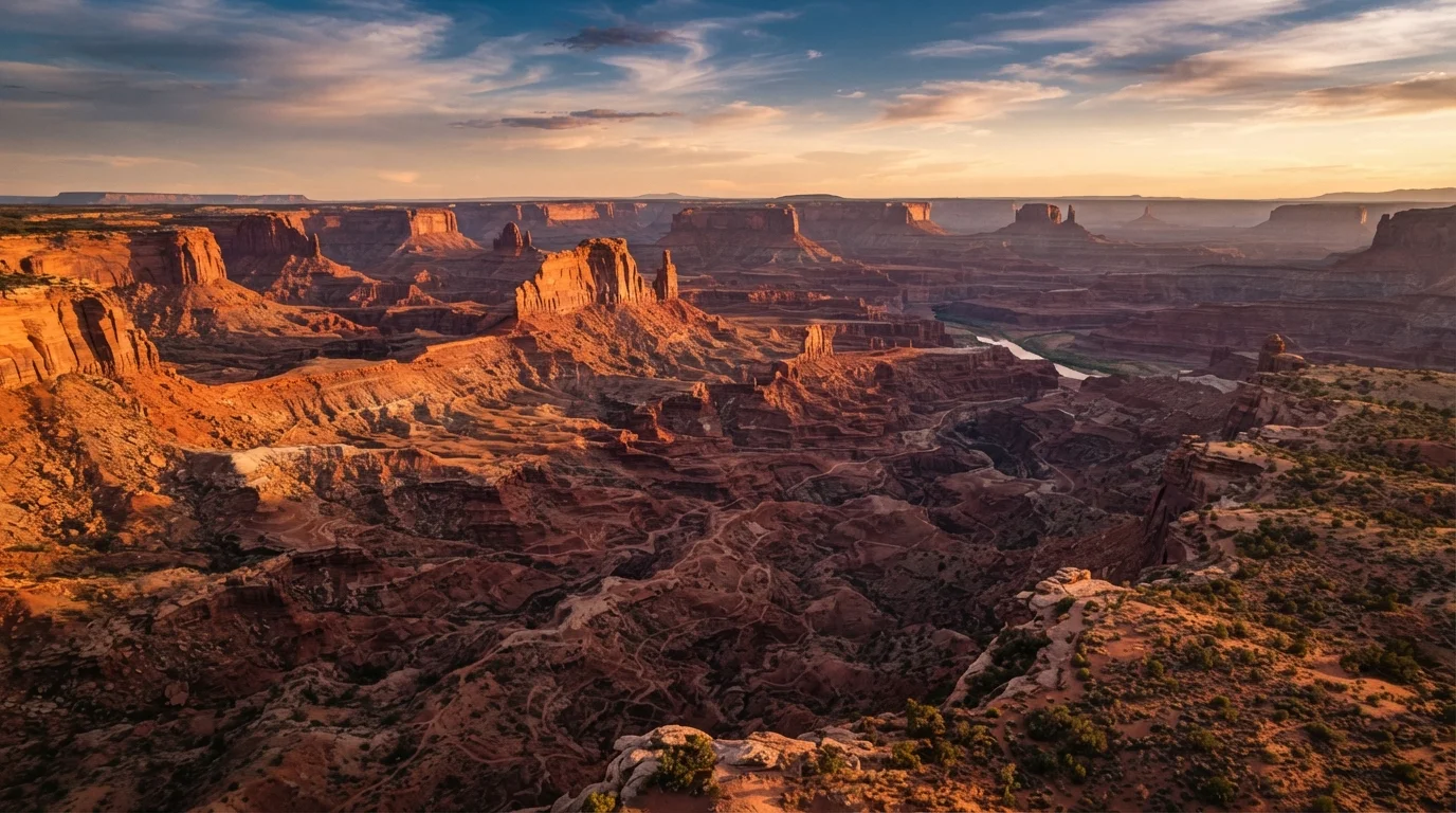
The Colorado Plateau - covering much of southern Utah, northern Arizona, western Colorado, and northwestern New Mexico - is arguably the richest concentration of park land in the country. The defining feature is sedimentary rock eroded by rivers and wind over millions of years into canyons, arches, and hoodoos.
- Grand Canyon National Park (Arizona): One of the world's most recognized geological features. The canyon reaches depths of over a mile and exposes nearly two billion years of Earth's crust. The South Rim is accessible year-round; the North Rim typically closes in winter due to snow.
- Zion National Park (Utah): Known for its narrow sandstone slot canyons and the Virgin River gorge. The park's Narrows hike - wading upstream through the canyon - is one of the most distinctive experiences in the region.
- Bryce Canyon National Park (Utah): Technically not a canyon but an amphitheater of spire-shaped hoodoos. Elevation ranges from 8,000 to over 9,000 feet, meaning temperatures are cooler and snowfall more common than nearby Zion.
- Arches National Park (Utah): Contains the world's greatest density of natural sandstone arches, including the widely photographed Delicate Arch. Located near Moab, it pairs naturally with Canyonlands next door.
- Canyonlands National Park (Utah): The largest Utah park, divided into three distinct districts by the Colorado and Green rivers. Much of the backcountry requires a four-wheel-drive vehicle or multi-day rafting trip.
Hoodoo
A tall, thin spire of rock formed by differential erosion, where harder caprock protects the softer rock beneath from wearing away as quickly. Most famously found at Bryce Canyon.
Caldera
A large volcanic depression formed when a magma chamber empties and the overlying rock collapses. Crater Lake and Yellowstone both sit within calderas.
Timed-entry permit
A reservation system used by heavily visited parks to limit the number of vehicles or visitors entering during a specific time window. Requirements vary by park and season.
Riparian zone
The interface between land and a river or stream. In western parks, riparian corridors are often the most ecologically productive areas and support the greatest wildlife diversity.
Continental Divide
The ridge line running through the Rocky Mountains that separates rivers draining to the Pacific Ocean from those draining to the Atlantic and Gulf of Mexico. Several parks straddle or cross it.
The Sierra Nevada and Pacific Coast Parks
California's parks span two very different landscapes: the granite peaks and glacial valleys of the Sierra Nevada, and the ancient redwood forests along the northern coast.
- Yosemite National Park (California): Famous for its glacier-carved valley, towering waterfalls, and granite monoliths including El Capitan and Half Dome. Timed-entry reservations have been required during peak season in recent years - travelers should verify current entry requirements with the National Park Service before visiting.
- Sequoia and Kings Canyon National Parks (California): Home to the largest trees on Earth by volume. These two adjacent parks are managed together and offer dramatically different terrain, from foothills to alpine wilderness above 14,000 feet.
- Redwood National and State Parks (California): A partnership between federal and state agencies protecting old-growth coast redwoods, the tallest trees on Earth. The parks stretch along roughly 40 miles of northern California coastline.
379+
National Park Service units across the US
The NPS system includes parks, monuments, seashores, recreation areas, and historic sites - not just national parks with that specific designation.
1,943 ft
Depth of Crater Lake, Oregon
Crater Lake is the deepest lake in the United States, according to the National Park Service.
~12 ft
Average annual rainfall, Hoh Rain Forest (Olympic NP)
Olympic National Park's Hoh Rain Forest receives among the highest annual precipitation of any temperate rainforest in the Northern Hemisphere.
The Northern Rockies and Pacific Northwest
Moving north, the landscape shifts to glacially carved peaks, active volcanoes, and temperate rainforests.
- Glacier National Park (Montana): Often called the "Crown of the Continent," Glacier protects more than one million acres of the Rocky Mountains. Its famous Going-to-the-Sun Road crosses the Continental Divide and is typically open only from late spring through early fall.
- Yellowstone National Park (Wyoming/Montana/Idaho): The world's first national park and still among the most visited. It sits atop a volcanic hotspot, accounting for its geysers, hot springs, and fumaroles. Wildlife viewing - bison, wolves, grizzly bears - is a major draw in the Lamar and Hayden valleys.
- Grand Teton National Park (Wyoming): Immediately south of Yellowstone, the Tetons offer abrupt, dramatic peaks rising directly from the valley floor without foothills. Many visitors combine both parks in a single trip.
- Olympic National Park (Washington): Uniquely contains three ecosystems within one boundary: temperate rainforest, alpine terrain, and a wild Pacific coastline. Rainfall in the Hoh Rain Forest averages 12 feet per year.
- Crater Lake National Park (Oregon): A caldera lake formed by the collapse of a volcanic peak roughly 7,700 years ago. At 1,943 feet, it is the deepest lake in the United States and is noted for its intense blue color.
Planning visits across multiple regions requires careful attention to distance - driving from Bryce Canyon to Glacier, for instance, takes the better part of two days. Use the trip planning resources available on this site to map realistic itineraries.