What Is the American Southwest?
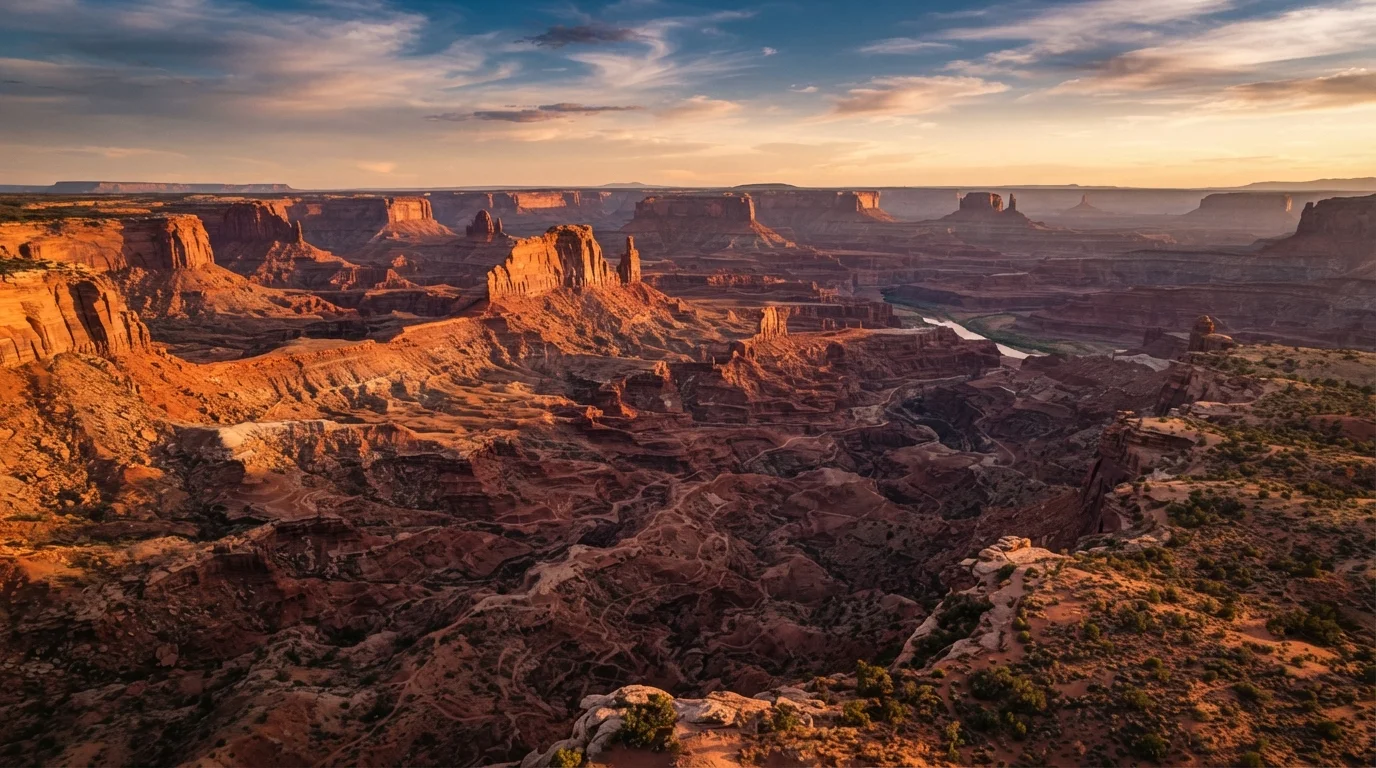
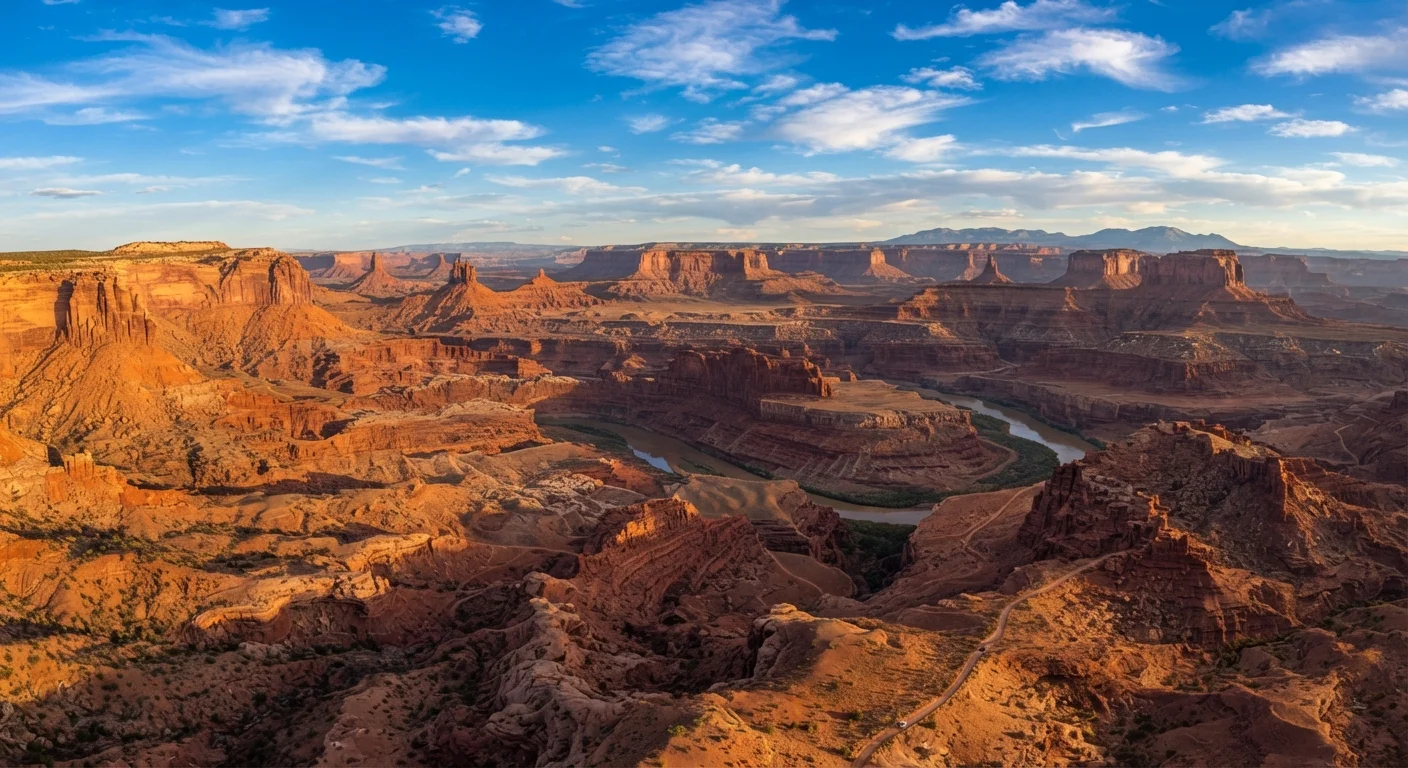
The American Southwest is a loosely defined geographic region - but for road trippers, it generally encompasses Arizona, Utah, Nevada, New Mexico, and parts of Colorado. What ties it together is geology: ancient sedimentary rock layers, ongoing erosion, and dramatic elevation changes have produced one of the most visually varied landscapes on Earth.
Unlike a single ecosystem or terrain type, the Southwest layers multiple distinct environments within a relatively compact area. You can drive from a cactus-studded Sonoran Desert basin to a forested plateau rim in a matter of hours. That contrast is exactly what draws so many first-time road trippers - and also why a little geographic orientation before you go makes a real difference in how you plan.
For those also in the process of planning your first itinerary, the building your first travel itinerary from scratch guide offers practical frameworks for structuring days realistically.
Colorado Plateau
A large elevated region of flat-lying sedimentary rock covering much of Utah, northern Arizona, and western Colorado, responsible for most of the Southwest's iconic canyon and mesa scenery.
Hoodoo
A tall, thin spire of rock formed by erosion, commonly seen at Bryce Canyon. The differential hardness of rock layers causes softer material to erode faster, leaving resistant caps on top of pillars.
Flash Flood
A sudden, rapid flood caused by intense rainfall, often occurring far from where the rain actually fell. Slot canyons in the Southwest are particularly dangerous during and after storms.
Cryptobiotic Soil Crust
A fragile living crust found on desert soil surfaces, made up of bacteria, fungi, and other organisms. It stabilizes desert soils and can take decades to recover after being disturbed by footsteps.
Timed-Entry Permit
A reservation system used by some national parks to limit the number of visitors entering during a specific time window, reducing crowding at high-traffic sites.
Elevation
The height of a location above sea level. In the Southwest, elevation significantly affects temperature, weather, and which plants and animals are present - high-elevation sites can be 20-30°F cooler than low-elevation deserts.
Major Landscape Zones You'll Drive Through
Understanding the Southwest's terrain in zones helps you see why destinations that look close on a map can feel very different on the ground.
- The Colorado Plateau - Covering much of Utah, northern Arizona, and western Colorado, this elevated tableland (mostly 5,000-8,000 feet) is the engine behind most of the region's iconic scenery: mesas, buttes, slot canyons, and arches. The plateau's layered sandstone has been carved over millions of years by rivers and wind.
- The Sonoran Desert - Centered on southern Arizona and extending into Mexico, this is the classic saguaro-cactus desert. Elevations are low, summers are punishing, and winters are mild. It's the landscape most people picture when they imagine Arizona.
- The Mojave Desert - Spanning southern Nevada and southeastern California, the Mojave is higher and drier than the Sonoran. Las Vegas sits at its edge; Joshua Tree National Park lies within it.
- Basin and Range - New Mexico and parts of southern Arizona feature a corrugated pattern of mountain ranges separated by broad, flat valleys. This zone offers excellent stargazing and a quieter pace.
Each zone has its own road conditions, wildlife, plant life, and weather patterns - factors that should shape both your route and your timing.
Key Destinations and What Makes Each Distinct
The Southwest hosts an extraordinary concentration of national parks and monuments. Rather than treating them as a checklist, it helps to understand what makes each place geographically unique.
- Grand Canyon National Park (Arizona) - One of the deepest gorges on Earth, carved by the Colorado River. The South Rim is accessible year-round; the North Rim closes in winter. Scale is the defining experience here - photos rarely convey the canyon's depth.
- Zion National Park (Utah) - Narrow sandstone canyons, emerald pools, and the famous Angels Landing hike. Unlike the open vistas of the Grand Canyon, Zion's drama is intimate and enclosed. Timed-entry permits are typically required in peak season.
- Bryce Canyon National Park (Utah) - Famous for its hoodoos (thin spires of eroded rock). At roughly 8,000 feet elevation, it's notably cooler than canyon-floor destinations and offers exceptional stargazing.
- Arches National Park (Utah) - More than 2,000 natural sandstone arches, including the iconic Delicate Arch. Timed entry has been required in recent years; confirm requirements before visiting.
- Monument Valley (Arizona/Utah border) - The sandstone buttes here are among the most photographed landscapes in North America. The valley is within the Navajo Nation; entry fees and visitor guidelines apply.
- White Sands National Park (New Mexico) - A field of gypsum dunes that are brilliant white and unlike any other desert landscape in the region.
For a broader regional overview, national parks of the American West offers a region-by-region orientation covering parks across the entire western US.
Group Nearby Parks Into Clusters
Utah's Zion, Bryce Canyon, and Capitol Reef parks form a logical cluster in the south-central part of the state, each within a few hours of the others. Organizing your itinerary around geographic clusters rather than a random checklist reduces backtracking and gives each area time to breathe. The famous 'Mighty 5' Utah parks route is a well-documented framework worth researching early in your planning.
Climate, Seasons, and When to Visit
Seasonal timing can determine whether your trip is comfortable or genuinely dangerous. The Southwest is not a uniform climate - elevation and terrain type create wide variation.
| Season | Low Desert (Sonoran/Mojave) | Colorado Plateau / High Elevation |
|---|---|---|
| Spring (Mar-May) | Warm and pleasant; ideal | Mild; some snow possible in March |
| Summer (Jun-Aug) | Extreme heat; 100°F+ common | Warm; afternoon thunderstorms frequent |
| Fall (Sep-Nov) | Warm and pleasant; ideal | Crisp and beautiful; crowds thin out |
| Winter (Dec-Feb) | Cool and mild; some sites quieter | Snow; some roads and facilities close |
Spring and fall are widely considered the most accessible windows for first-time road trippers. The monsoon season (typically July-September) brings afternoon thunderstorms that can cause flash flooding in canyon areas - a serious hazard that warrants real attention when hiking or camping near slot canyons.
Practical Considerations Before You Hit the Road
Southwest road trips reward preparation. A few logistical realities to understand before you plan:
- Distance is deceptive. The drive between Zion and Bryce Canyon looks short on a map but takes roughly 1.5 hours. Monument Valley to the Grand Canyon is over 2 hours. Build generous driving time into each day.
- Water and fuel. Gas stations can be 50-80 miles apart in rural areas, especially on the Navajo Nation. Carry extra water - the general desert guideline is at least one liter per person per hour of active outdoor time in heat.
- America the Beautiful Pass. If you plan to visit four or more fee-area national parks, the annual Interagency Pass (commonly called the America the Beautiful Pass) typically covers entry at all of them and can represent significant savings.
- Cell service. Expect gaps - sometimes long ones - across canyon country. Download offline maps before departing populated areas.
- Leave No Trace. Cryptobiotic soil crusts (the dark, lumpy ground crust visible in many desert areas) are living organisms that take decades to recover from a single footstep. Stay on marked trails.
If you're still in the early stages of overall trip planning, the anatomy of a well-planned trip breaks down how to think through logistics from start to finish. And if this is your first major road trip and you're still figuring out your vehicle situation, what first-time car buyers should know is a useful starting point for understanding your options.
Flash Flood Risk Is Real in Slot Canyons
Slot canyons like Antelope Canyon and Buckskin Gulch can fill with fast-moving water within minutes, even when skies above you appear clear - the rain may have fallen miles away. Always check weather forecasts for the broader upstream watershed before entering any slot canyon, and follow guidance from park rangers or licensed guide services. Do not enter slot canyons during monsoon season without professional guidance.