What Flood Zone Designations Actually Mean
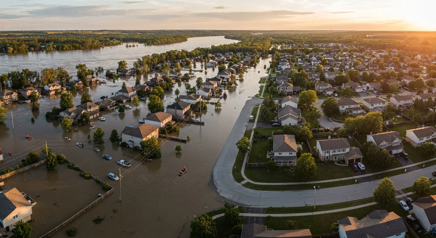
FEMA's Flood Insurance Rate Maps divide land into zones based on estimated flood probability. A property in a Special Flood Hazard Area (SFHA) - zones labeled with A or V - has a 1% or greater annual chance of flooding, commonly described as being in the "100-year floodplain." That terminology is often misunderstood: it does not mean flooding happens once per century; it means there is roughly a one-in-four chance of flooding over the life of a 30-year mortgage.
Zone X (or Zone B and C on older maps) represents lower-risk areas, but "lower risk" is not "no risk." Roughly 25% of NFIP flood claims come from properties outside high-risk zones, according to FEMA.
For homeowners with federally backed loans - including FHA, VA, and conventional loans sold to Fannie Mae or Freddie Mac - a property in an SFHA triggers a mandatory flood insurance purchase requirement. This adds directly to your monthly housing costs. Understanding your zone is the first step in budgeting accurately and assessing your true exposure. See our guide to homeowner's insurance coverage gaps for context on what standard policies typically exclude.
Flood Maps Are Not Always Current
FEMA updates Flood Insurance Rate Maps periodically, but some areas have not been remapped in decades. Development, drainage changes, and climate shifts can alter actual flood risk beyond what an older map reflects. Homeowners - especially those who purchased property years ago - should check when their local FIRM was last updated and whether a remapping study is underway.
Wildfire Risk: A Growing Factor in Insurance and Property Value
Unlike flood zones, there is no single national wildfire risk map used uniformly by lenders. Instead, insurers use proprietary risk models, and some states - including California - have developed their own hazard severity zone maps used for regulatory and disclosure purposes. Factors that influence a property's wildfire risk score include proximity to wildland vegetation, local fire history, roof materials, defensible space, and regional climate conditions.
The practical consequences for homeowners are significant. In states with elevated wildfire exposure, major insurers have reduced their presence or exited markets entirely, driving homeowners toward state-run programs that often provide less coverage at higher cost. Even homeowners who retain private coverage may see premiums increase substantially at renewal - sometimes with little notice.
~25%
NFIP flood claims from low-to-moderate risk zones
According to FEMA, roughly one quarter of National Flood Insurance Program claims originate from properties located outside designated high-risk flood zones.
1 in 4
Chance of flooding during a 30-year mortgage in an SFHA
FEMA estimates that a property in a Special Flood Hazard Area faces approximately a 26% cumulative probability of flooding over the life of a 30-year loan.
Millions of acres
US land area at elevated wildfire risk
The US Forest Service and risk research organizations consistently identify tens of millions of acres across the western US as facing elevated or extreme wildfire hazard, a figure that has grown with changing climate conditions.
Mitigating wildfire risk - by clearing vegetation buffers, installing ember-resistant vents, or upgrading roofing materials - can sometimes influence your insurability or premium. It is worth asking your insurer directly whether documented mitigation measures are factored into your rating. Any structural modifications should be evaluated for permit requirements; see our article on how renovations can affect your coverage for what to consider before making changes.
Other Climate Hazards: Hurricanes, Extreme Heat, and Coastal Risk
Flood and wildfire are the most widely regulated hazards, but they are not the only ones affecting property value and insurability. Coastal properties face wind damage risk from hurricanes and tropical storms, often addressed through separate wind insurance policies or endorsements - particularly in Gulf Coast and Atlantic states. Earthquake risk, while not a climate-driven hazard, similarly requires separate coverage not included in standard homeowner's policies.
Emerging hazard data - including extreme heat indices and sea-level rise projections - is increasingly being incorporated into long-term property risk assessments by research organizations and some lenders. While this data does not yet generate the same regulatory requirements as flood maps, it is being used by real estate analysts and some municipal governments in long-range planning decisions.
Homeowners in any region should consult their local planning or zoning office to understand what hazard disclosures are required at the time of sale. Many states mandate seller disclosure of known flood, wildfire, or natural hazard risks, and buyers increasingly rely on third-party risk scoring services to evaluate properties before purchase.
How Risk Designations Affect Your Finances and Options
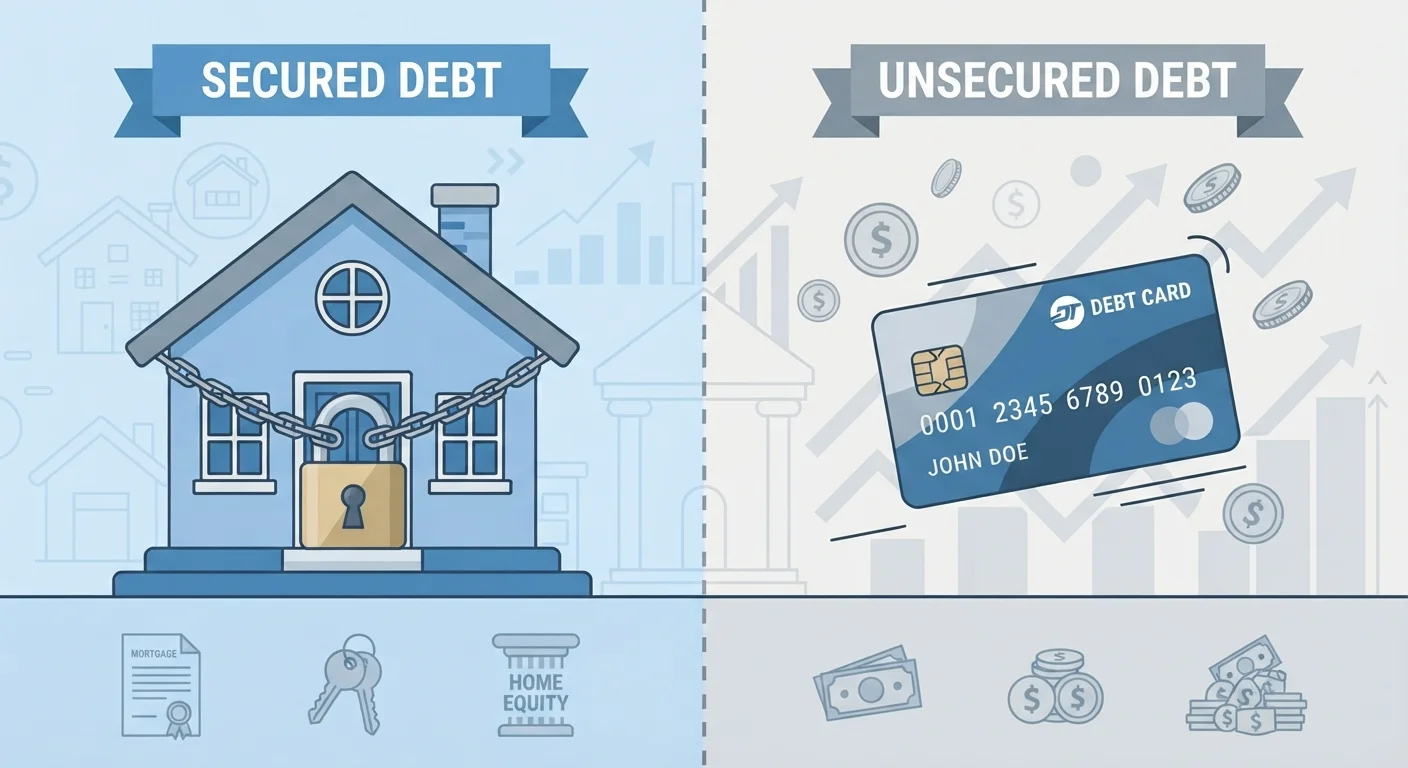
A high-risk designation carries real financial weight beyond insurance premiums. Lenders may apply additional underwriting scrutiny to properties in high-risk zones, and in some cases, coverage unavailability can make a property unfinanceable - limiting resale. Because a mortgage is a secured debt tied directly to the property, the lender's exposure to hazard risk influences their willingness to lend. Our explainer on secured vs. unsecured debt provides useful background on why lenders treat property-backed loans differently.
If you believe your flood zone designation is inaccurate, you have a formal avenue for appeal. A Letter of Map Amendment (LOMA) allows a property owner to submit elevation certificate data - typically prepared by a licensed surveyor - to FEMA for review. A successful amendment can remove the mandatory insurance requirement and potentially reduce costs. Check whether your property has any existing title encumbrances that could complicate this process: liens, easements, and encumbrances sometimes intersect with floodplain management restrictions.
Request an Elevation Certificate Before You Need One
An elevation certificate, prepared by a licensed land surveyor, documents the elevation of your home relative to the Base Flood Elevation for your area. Having one on file can support a LOMA application, help you shop for more accurate flood insurance quotes, and speed up any future insurance or financing reviews. Contact your local floodplain manager or a licensed surveyor to request one.
This article is for general informational purposes only and does not constitute legal, financial, or insurance advice. Consult a licensed insurance professional, lender, or attorney for guidance specific to your property and circumstances.